
Trace Waterford Township Streets
Street-by-street work starts with a current situs address, not a person name. Waterford Township is in Oakland County, Michigan, and the township assessment record is the practical opening record because it connects the property location to a parcel number and registered owner information. That result is an ownership lead, not a complete list of everyone connected with an address. Keep the street number, directional, suffix, parcel number, legal description, and mailing-address distinction in your notes before changing sources.
The sequence below keeps the address trail in order. It also separates recorded ownership from voter-file context and historical household listings, which answer different questions.
- Enter the exact address with Waterford Assessing or Oakland County Property Gateway and record the situs address.
- Capture the registered owner, owner mailing address, parcel or PIN, and legal description where the assessment record provides them.
- Open the same parcel in the GIS map, then click or pan to neighboring parcels instead of assuming an address result is a complete street roll.
- Use the PIN or legal description in the deed index to locate the recorded transfer and its grantor and grantee.
- For registered-voter context, use the Michigan Voter Information Center for personal status information or the appropriate QVF file request for a permitted geographic scope.
- For an earlier address trail, consult a criss-cross directory by street and house number, then compare its listing with the deed and parcel record.
Note: A documented owner, a voter-file entry, and a directory listing should be compared by date before drawing any conclusion about a household.
Waterford Township Street Parcel Search
Oakland County Property Gateway has two documented starting modes: Property Address and PIN. The address mode requires at least five characters. Its help examples allow partial entries such as 1200 S and 123 S V, plus wildcard forms such as 1% Main and 1% S% M. PIN mode accepts partial or wildcard forms, and multiple comma-separated PINs can be searched. The static interface does not document a confirmed owner-name search field, so an address or PIN is the sounder starting key.
| Gateway field or control | How it works |
|---|---|
| Property Address | Required for address mode; enter at least five characters and use partial or wildcard address forms when needed. |
| PIN | Required for PIN mode; partial PINs, wildcard PINs, and comma-separated PINs are accepted. |
| Search mode | Choose Property Address or PIN, then use map navigation and parcel clicking for additional context. |
| Print Map | Starts a map-print workflow with direct print, PDF, pickup, standard delivery, and expedited delivery options. |
After a parcel is identified, the map can lead to property and tax-report paths. Oakland Mapping Services also describes current and historic aerials, elevation, FEMA DFIRM, landowner reports, and tax-information reports. Report and map access may involve a paid option, so a map view should not be treated as the full underlying record.
Map Waterford Township Streets
Waterford GIS Online Mapping points residents to property values, lakes, parks, printable township, voting, and school maps, plus Oakland County online maps. Search an address or PIN, select the parcel, and use its visible geometry and road frontage to work outward along a street. The research did not document a public buffer, select-by-rectangle, or adjacency-export control, so each adjacent parcel should be retrieved and checked separately.
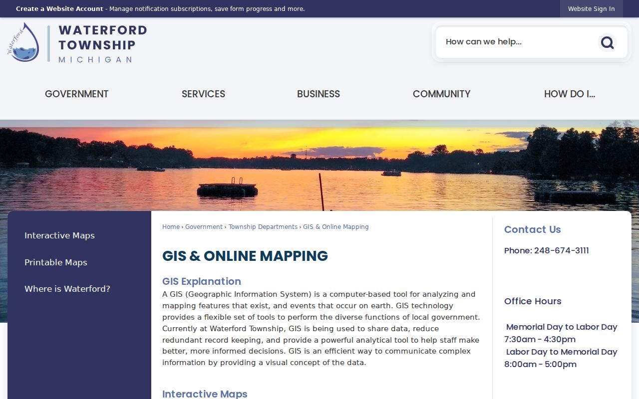
The GIS entry page is a useful bridge from a street address to a mapped parcel. It does not, by itself, establish who currently lives at each location.
Roads, lakes, parks, aerial imagery, elevation, flood context, and school or voting maps can help confirm where a parcel sits. The parcel number remains the durable bridge to assessment and deed records. Use it again when an address label has changed or when a plat divides one familiar street into smaller legal descriptions.
Waterford Township Street Records
Different Waterford Township records use the same street in different ways. The table separates the address-keyed sources from claims they cannot support. That distinction matters when a street directory search moves between present parcel data and older household material.
| Address record | Custodian | Useful fields | Access route |
|---|---|---|---|
| Assessment parcel card | Waterford Assessing | Registered owner, situs, mailing address, parcel, values, description, sketch or report | Property Gateway or township counter; some copies carry a fee |
| Property Gateway map | Oakland County | Address or PIN, mapped parcel, report and aerial paths | Free search and map; some reports or maps are paid |
| GIS parcel view | Waterford and Oakland mapping | Parcel geometry, roads, lakes, parks, and map context | Online map; retrieve each nearby PIN separately |
| Super Index deed record | Oakland County Clerk/Register of Deeds | Recorded parties, document type, date, Liber/Page or document number, legal description | Online index from January 1, 1964 forward; earlier manual records at the county |
| Permit record | Waterford Development Services / BS&A | Address, project, permit or inspection details, and public applicant or owner evidence | BS&A route, township submission, or records request |
| Historical criss-cross directory | Library and history collections | Street, house number, head of household, phone, or owner-occupancy mark when included | Physical, microfilm, licensed database, or authorized collection access |
The registered owner field can identify an individual or business. The owner mailing address may be outside Waterford Township, while the situs address remains the parcel location. Neither field alone proves a current household relationship. For one-name verification after a parcel clue, use the separate Waterford Township resident lookup path rather than stretching the street trail beyond its evidence.
Waterford Township Street Permit Records
Waterford BS&A Online provides entry points for address, name, and parcel searches as well as building-department, payment, application, and inspection functions. A permit can help date construction, alteration, demolition, utility work, or a change of use. It may name an applicant, owner, or contractor where public, but that party is not automatically the property owner or a resident.
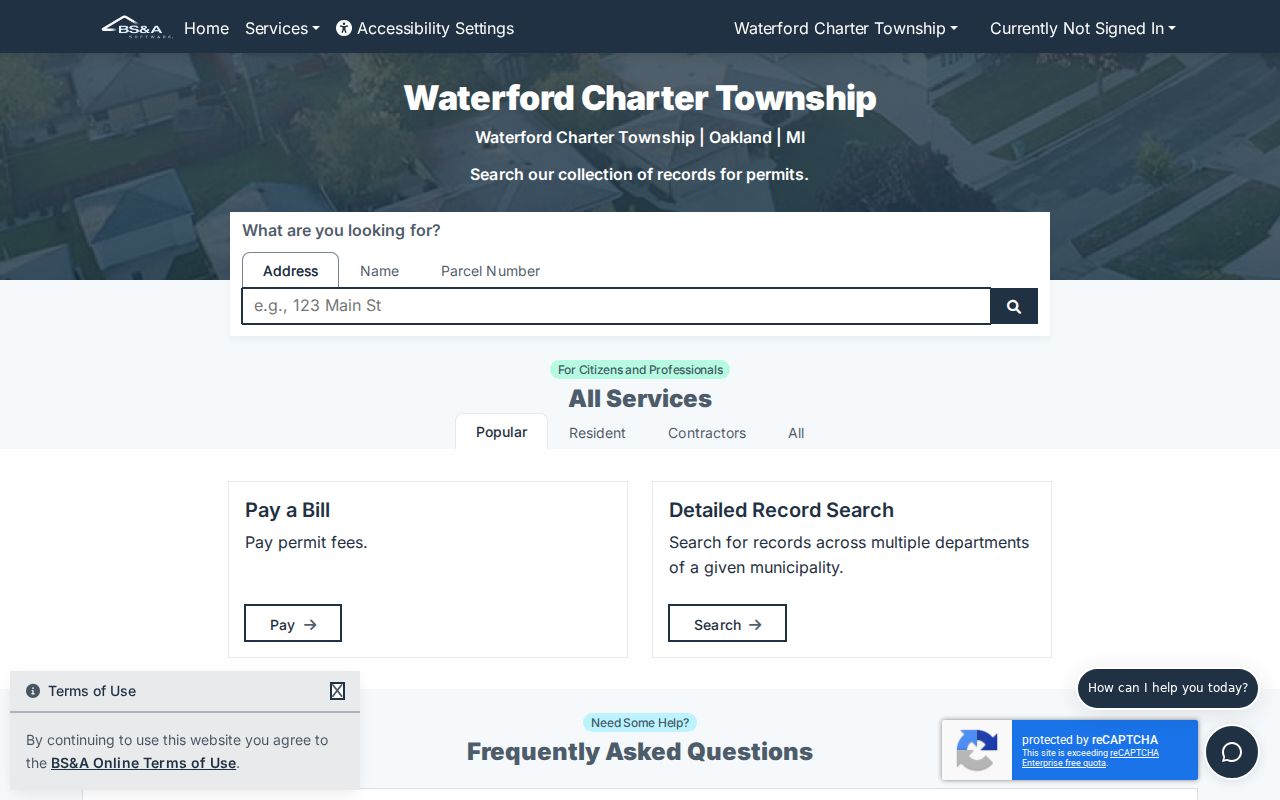
The BS&A landing page shows the address, name, and parcel entry routes that can connect a street search to a project record.
Waterford permit applications also explains the township's building and trade submission routes, BSA Online requirements, fees, inspection scheduling, and counter contact. Match a permit date against the recorded deed, assessment record, and historical directory instead of treating it as a stand-alone identity record.
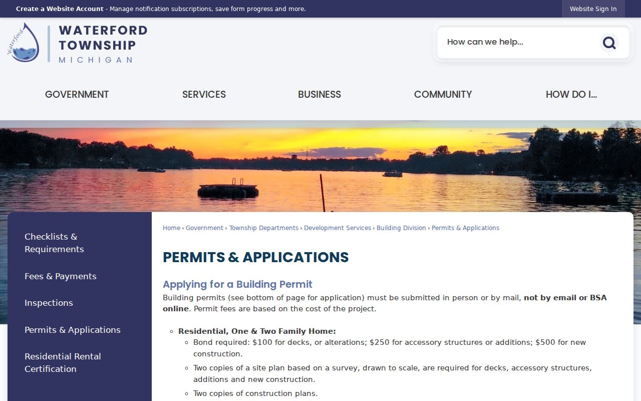
The permit-application source is most helpful for learning the available access channel. The reviewed material did not provide a complete public code-case result schema, so do not assume a case list exists online.
Waterford Township Street Deeds
The Oakland County Clerk/Register of Deeds Super Index accepts a name, address, or PIN through its Search anything mode. Official examples include an address string and a PIN. Results can show a recording date, Liber/Page, document number, names, and legal description as indexing is completed. Image, download, or ordering options vary by document and payment status, while the index search itself is free.
For a street record, use the parcel or legal description to narrow a purchase deed. The buyer is the grantee and the seller is the grantor. Search the grantor as a later grantee to move backward through the recorded chain. The computerized index begins January 1, 1964. For an earlier link, the Register of Deeds and Tract Index maintain manual books, plats, and retention material with historical coverage into the 1800s.
Note: A free index result is a research lead, while a recorded image or certified copy is the appropriate record to request when proof of a legal transaction is needed.
Waterford Township Street Voter Context
Michigan Voter Information Center is the public state entry point for personal voter status, precinct, polling-place, and voter-information tasks. It is not advertised as a free street-by-street roster. Michigan voter-registration records are public through formal channels, and the Qualified Voter File request process can be scoped by jurisdiction, district, school, village, ward or precinct, county, or state.
That scope differs from the assessor and deed systems. A permitted QVF product may include name, residential or mailing address, year of birth, jurisdiction, precinct, status, registration date, and requested voter-history fields. It does not release driver-license or state-ID numbers, month and day of birth, phone numbers, email addresses, signatures, or protected information. Ballot history indicates activity in an election, not a ballot choice. This is why voter data provides context alongside a Waterford Township street directory, rather than a substitute for the parcel chain.
Read Waterford Township Parcel Terms
Address research becomes more reliable when the map and deed vocabulary are read precisely. The parcel identifier ties several Waterford Township systems together, while a legal description helps when the street wording does not.
- Parcel or PIN
- A numeric property key that connects the assessment record, map, deed, tax context, and legal description.
- Situs address
- The physical location of the parcel. It differs from the owner's mailing address, which receives tax correspondence.
- Plat
- A recorded map that lays out a subdivision, lots, blocks, or other land divisions. It can bridge a street address to the legal description.
- Criss-cross directory
- A reverse directory arranged by street and house number, often leading to a historical head-of-household or phone entry when the volume includes one.
Lot and block descriptions, condominium references, and metes-and-bounds wording can appear in older deeds. The Oakland Tract Index is designed for these land-description paths when a modern address has been altered by a split, combination, or renamed road.
Waterford Township Road Variants
Waterford's road history can break an otherwise careful street directory search. The township timeline says Grand River street became Maple and later Andersonville Road. Older material can also use Clintonville, Drayton Plains, Waterford Village, Windiate Park, Pontiac, or another postal or community label. Search each known road form and then verify it against a parcel, plat, intersection, or adjacent road instead of rejecting an older deed because its mailing line differs.
Waterford historical maps include 1872 views for Waterford, Clintonville, Drayton Plains, Waterford Village, and the township. They are address-translation tools for old community labels, not proof that a present-day numbering pattern already existed. No official comprehensive renumbering year was located in the research.
Waterford Township Street Limits
A parcel map can show land, not every person linked to an address. Assessment information can identify a registered owner and mailing address, but it cannot establish every household member or current occupant. A deed records transaction parties, not informal occupancy. A historical directory can omit a non-subscriber or an unlisted household, and a voter record does not represent every person at an address.
Utility customer information is not a public resident directory, and vehicle address data is protected. Protected-voter and address-confidentiality participants must not be treated as ordinary address matches. Official records should be used for lawful personal, family-history, estate, safety, or civic research, with care for the limits of each source.
Lawful use. Use Waterford Township street and address records only for lawful research. Do not use any result to track, harass, or harm another person.
Waterford Township Missing Records
When the online path stops, move to the custodian that holds the next layer. Earlier deeds and tract material belong with the Oakland County Clerk/Register of Deeds and its Tract Index, while record cards and non-digital sketches can require the Waterford Assessing counter. Historical directory material may be on a shelf, microfilm, licensed in-library database, or authorized digitized collection. County local-office visits can also handle selected deeds, mortgages, liens, court, voter-registration, and related transactions at local locations.
A request to Waterford Township may be made under the Michigan Freedom of Information Act. Michigan FOIA provides for a written request, an initial five-business-day response, and a possible ten-business-day extension; permitted charges can cover search, review, separation, copying, and mailing. Ask for the specific address record, date range, and department rather than asking for a broad street roster. Waterford court questions belong with the 51st District Court (Waterford) or Oakland County Circuit/Probate Court, not the parcel portal.