
Waterford Township Neighbor Records
Public sources answer different block questions. Waterford GIS and Oakland County Property Gateway show the physical parcel pattern around an address. The assessor's public description identifies the registered owner at an address, not every person who may be there. Recorded deeds add transfer parties, dates, and legal descriptions. A Qualified Voter File request is a formal state route with a selected geographic scope, not an instant public block list. Historic criss-cross directories and public civic contacts can add time or community context. Use each source for the limited fact it actually holds.
| Source | What It Shows About a Block | Access |
|---|---|---|
| Waterford GIS and Property Gateway | Parcel shapes, road frontage, nearby parcels, map context, and address or PIN path | Public map navigation; select parcels one at a time |
| Waterford Assessing | Registered owner, mailing address, values, description, and possible exemption context | Township and property-gateway route; copies or reports may cost |
| Oakland Super Index | Recorded transfers, common grantors or developers, dates, and legal descriptions | Online from January 1964; older deed and tract records are at the county office |
| Michigan QVF request | Lawfully released registration fields within the chosen geographic scope | Secretary of State FOIA form, with redactions, scope, fee, and delivery rules |
| Historic directory or cemetery source | Past household, burial, obituary, or family-history clues | Library, history-center, township, and archival resources with varying coverage |
| Public civic organization material | Community contacts, meetings, and area information | Public notices and contact channels, not a member roster |
Owners and occupants are not interchangeable. A parcel card may identify the person or entity responsible for the property, while a current resident may not appear in that record. A voter file concerns registered voters, not every household member. These limits make a Waterford Township neighbor search more accurate when the record role is written down beside each result.
Waterford Township Neighbor Parcel Walk
The verified GIS method starts with a known parcel rather than a street-wide export. Search the address or PIN in Property Gateway, select the mapped parcel, inspect its visible boundaries and road frontage, then pan or click to the adjoining polygons. Retrieve each adjacent PIN or address separately through Property Gateway or the assessor. The official pages document the address or PIN search, map navigation, parcel clicking, and printing. They do not document a radius, buffer, rectangle-selection, adjacency-export, or direct owner-link feature, so none should be assumed.
- Enter the starting address or PIN in the official parcel route and record the returned parcel details.
- Inspect the map boundary and road frontage, then click or pan to each visibly adjacent parcel.
- For every selected parcel, retrieve its address or PIN separately and read the assessment fields as owner evidence, not an occupant list.
- When a recorded transfer matters, search the parcel's legal description or party in the Super Index and keep the recording date with the result.
- Stop at the immediate adjoining parcels unless a different, documented source justifies a broader question.
A full named-street history is a separate task. The Waterford Township Streets directory follows that broader address-record chain without turning a parcel walk into a claimed block roster.
Waterford Township Neighbors by Map
Waterford GIS advertises property values, lakes, parks, printable township, voting, and school maps, plus Oakland County online maps. Property Gateway can return a mapped parcel and connect it to property or tax reports. Mapping Services adds current and historic aerials, elevation, FEMA flood context, landowner reports, and tax-information reports. That setting can explain why a block has unusual frontage, lake access, or a different map boundary. It does not identify a complete group of people living nearby.
Use the map's parcel geometry as the bridge between an address and recorded land information. The legal description can be more stable than a street address when a road's name or numbering has changed. A subdivision lot and block or a metes-and-bounds description may connect the parcel to a deed or plat. Keep the situs address separate from the owner's mailing address because correspondence can be sent away from the property.
- Parcel
- A defined piece of land used in assessment and mapping records.
- Situs address
- The physical address where a parcel is located.
- Mailing address
- The address used for notices or correspondence, which can differ from the parcel location.
- Legal description
- The lot, block, subdivision, or metes-and-bounds wording that identifies land in recorded documents.
Waterford Township Property Records
Waterford Assessing states that the registered owner at an address is a public assessment field. It also describes property description, assessed value, taxable value, plat-book maps, record cards, valuation reports, and sketches. Oakland Property Gateway supports address and PIN searches, including partial and wildcard formats, but its static public screen does not confirm a separate owner-name field. After a parcel is identified, county landowner or tax reports may offer additional owner information through the documented report paths.
Read those fields carefully. A registered owner can be an individual, business, or trust. A homestead exemption may be an owner-occupancy indication, but exemptions, timing, ownership structures, and updates make it inconclusive. Permit or building records can identify an applicant, owner, or contractor for a project at an address, but the permit party is not necessarily a resident. The local record's narrow meaning is more useful than an overbroad claim about Waterford Township neighbors.
Waterford Township Voter Records
Michigan.gov/Vote lets a voter check status, precinct, polling place, and voter information. The exact live public form controls were not captured in the research, so they should not be described as a verified neighbor-search form. Public voter records are available through FOIA, but driver-license and state-ID numbers, month and day of birth, phone numbers, email addresses, signatures, and protected information are withheld. A public status match is time-sensitive and should be confirmed with the voter or the Waterford Clerk.
The QVF request form requires one scope choice, such as the entire state, county, city or township jurisdiction, district, school, village, or ward and precinct. A released file can include a name, residential or mailing address if available, year of birth, registration date, status, voter ID, and requested history. It is not a casual instant directory. Protected voters and redacted fields remain excluded, and published block rosters are not an appropriate use of the file.
Waterford Township Deed Records
Deeds can show a recorded relationship to a parcel, not a present household. Once an adjacent PIN or legal description is known, the Oakland County Clerk/Register of Deeds Super Index can be used to find the recorded transfer party, document type, recording date, Liber and Page or document number, legal description, and, where shown, consideration. Common grantors, developers, or transfer timing may reveal the land history of adjacent parcels. They do not establish social relationships among Waterford Township neighbors.
The computerized index starts January 1964. Earlier books, plats, tract indexes, and manual records remain at the county office, with historical material extending into the 1800s. When an address search does not resolve an older parcel, use the legal description and the tract index rather than guessing. This is the practical boundary between a documented recorded-owner trail and an unsupported claim about who lives on a block today.
Waterford Township Neighbor Civic Contacts
Waterford Township Community Organizations lists local groups such as the Waterford Genealogical Society, Waterford Township Historical Society, Chamber of Commerce, VFW Heart of the Lakes Post #1008, Garden Club, Rotary, Lions, Community Coalition, Goodfellows, WOTA, and others. Their public meeting and contact material can help place an address in a community setting. The township inventory is not a household directory, and no complete umbrella HOA, block-watch, or association membership roster was located.
Waterford Genealogical Society
Meets at the library community room on the first Wednesday from 1 to 3 p.m.; a second-Tuesday Zoom meeting is held except July and August with registration. Its public focus is local surname, cemetery, obituary, and family-history research.
Waterford Historical Society
Its Hatchery House research library at Fish Hatchery Park is listed at 4490 Hatchery Road. Local maps, aerials, photographs, history books, and referrals can help interpret past neighborhood names.
Watkins Lakelands Association
This lake and neighborhood association identifies public community information for areas including Forest Avenue, Payton, Maycrest, Horseshoe, Sedum Glen, Ross, and parts of Crescent Lake Road. No comprehensive public member directory is published.
Use contact cards to find public meetings, community history, or area context. Do not use them to infer membership or residence. The categories of homeowners associations, lake boards, and community groups in township planning material do not amount to one searchable Waterford Township neighbor roster.
Waterford Township Neighbor Sources Compared
Official records and commercial neighbor-search products serve different purposes. The first category shows the limited fields maintained by a public custodian. The second combines public, marketing, social, and purchased material that can be old or mismatched. Neither category is a complete household roll, but official records provide a clearer path to the responsible office when a detail needs confirmation.
| Source category | Useful for | Limit to keep in view |
|---|---|---|
| Official parcel, deed, and civic records | Recorded ownership, map context, transfer history, and public community contacts | Each record describes a defined role, not every occupant or relationship |
| Commercial neighbor-search category | Possible leads that require independent checking | Data can be stale, incomplete, or wrongly joined; opt-outs do not erase the source public record |
For a correction or a current copy, return to the assessor, Register of Deeds, Clerk, or other custodian. That approach preserves the distinction between a source lead and a confirmed record.
Waterford Township Neighbors in History
Waterford Township's grave search covers the township's five cemeteries and may return grave location, obituary details, marker photographs, and walking directions. Cemetery material can connect a past resident or family to a neighborhood history, but it is not proof of a last address. Pair it with an obituary, probate file, historical directory, or dated parcel record before drawing a location conclusion.
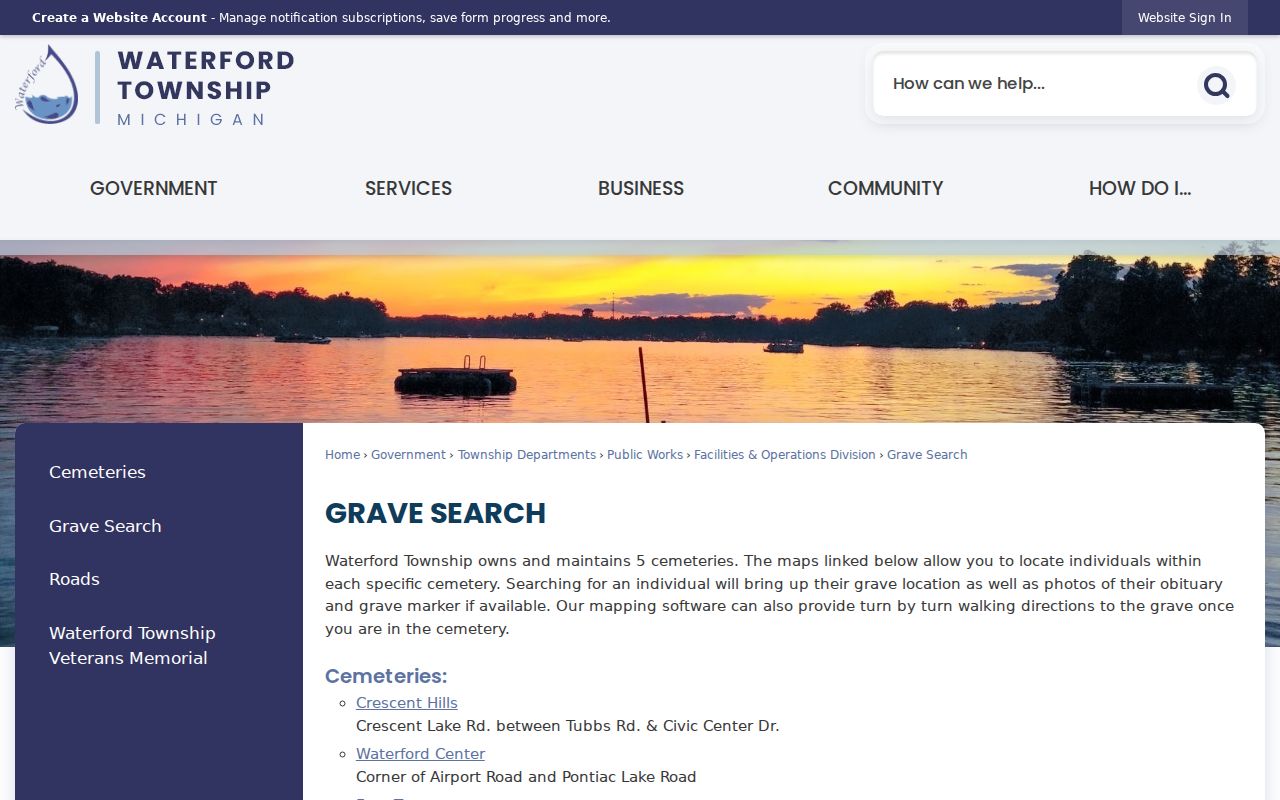
The grave-search source is most useful as a date and family-history check beside, not in place of, parcel evidence.
Waterford Township Historical Society resources point to maps, aerials, biographies, newspapers, Michiganology, and Oakland County history. Road names, community labels, and historic maps can explain why an older record uses Clintonville, Drayton Plains, Waterford Village, or another local place name rather than a modern parcel label.
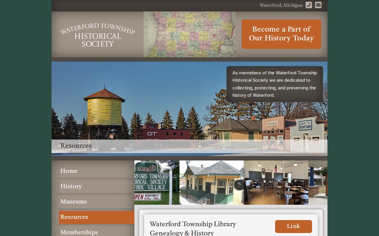
Historical maps and aerials add geographic context, while the assessor and deed records remain the sources for current parcel and recorded-transfer facts.
Waterford Township Neighbor Privacy
Private details stay private. Renters, unregistered household members, protected voters, utility customers, delivery recipients, children, and motor-vehicle addresses are not part of a lawful public block search. Michigan's Address Confidentiality Program gives qualifying people a substitute address and does not disclose the actual residence through the public program. Court and vital-record restrictions also apply to protected matters. Do not copy or republish sensitive identifiers from a recorded image or use a public record to work around a protected-address safeguard.
Michigan's stalking statute, MCL 750.411h, addresses a willful course of unconsented contact or harassment. If a record seems wrong, contact the office that maintains it. If unwanted contact or misuse occurs, preserve dates, messages, and source URLs, then contact local law enforcement. A carefully limited Waterford Township neighbors search respects both the useful public record and the information that must remain protected.